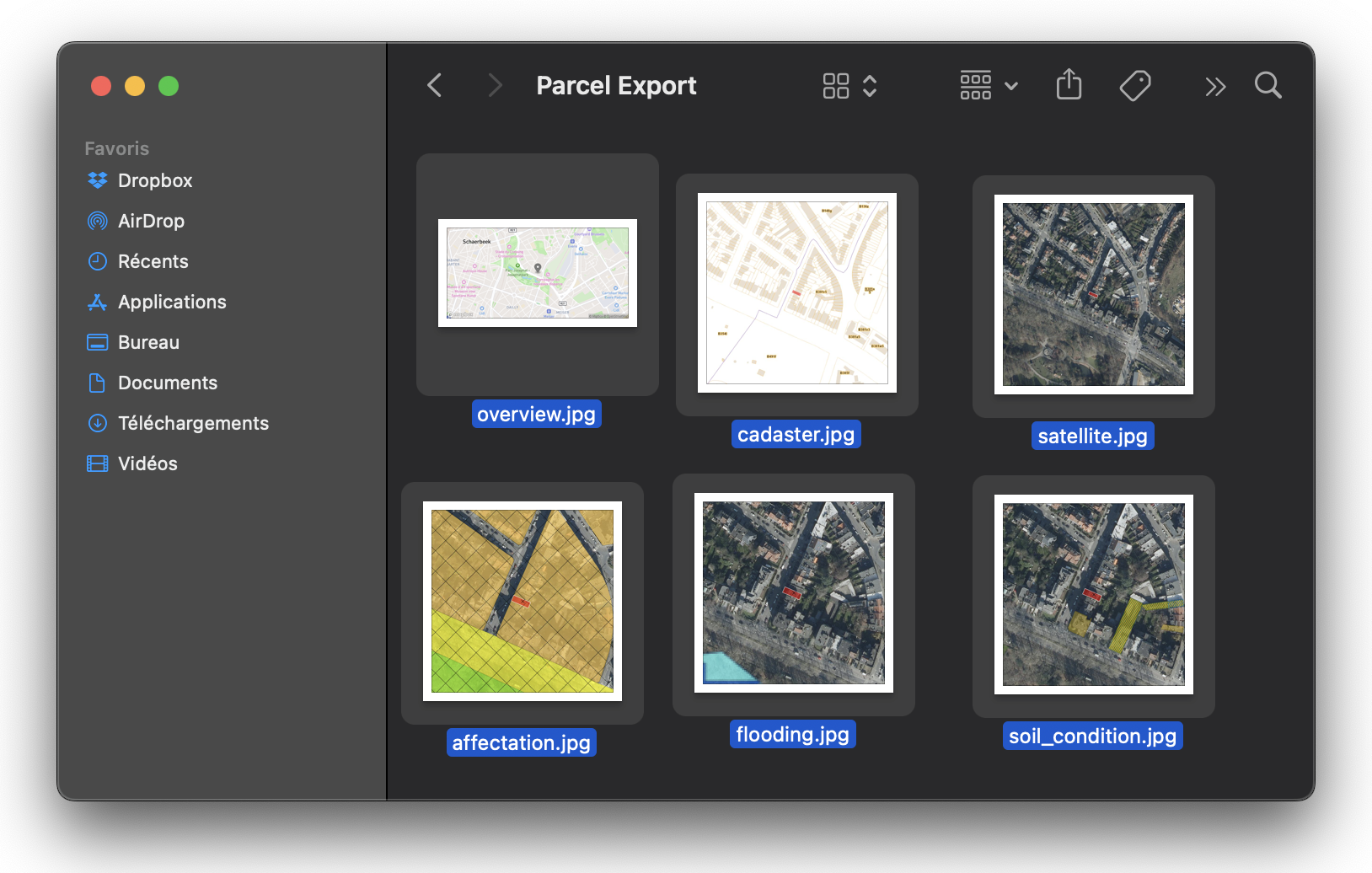
All base maps in 1 click
For free
No need to browse BruGIS, CadGIS, WalOnMap, GeoPunt & BDES…
Get a .zip export with the basemap images.
All for Brussels, Wallonia and Flanders
This form, designed by and for expert surveyors, allows you to generate a .zip file containing the essential maps for a cadastral study or a valuation report. We offer the following base maps:
✅ Overview
(“google maps” type map)
✅ Satellite view
✅ Land registry
(BruGIS/WalOnMap/GeoPunt)
✅ Land use
✅ Flood risk
✅ Soil conditions
Want to add a new basemap?
Contact us via the website form to request an improvement to the tool.
Are you a real estate expert or agent?
No more wasting time saving basemaps 1 to 1 for your files.
Are you another professional?
Investor, property dealer, quickly get a contextual view of a property.
Export your basemaps for free
What types of maps can I get with this tool?
You can generate a .zip file containing the following basemaps: Overview (Google Maps style), Satellite view, Cadastre, Land use, Flood risk, and Soil condition. These maps cover the regions of Brussels, Wallonia, and Flanders.
Is the tool free?
Yes, the tool is completely free. You can download the base maps free of charge for your cadastral studies or valuation reports.
Who is this tool for?
The tool is designed for chartered surveyors, real estate professionals, investors, and valuation experts. It saves time by automatically generating the necessary maps.
Can I add new custom cards?
Currently, we offer a set of standard maps. If you'd like to add a specific basemap, you can contact us via the website form to submit an enhancement request.
How to receive the cards?
Once you complete the form, you will receive a .zip file containing the selected cards directly by email. This allows you to quickly access all the necessary information in a single download.

